

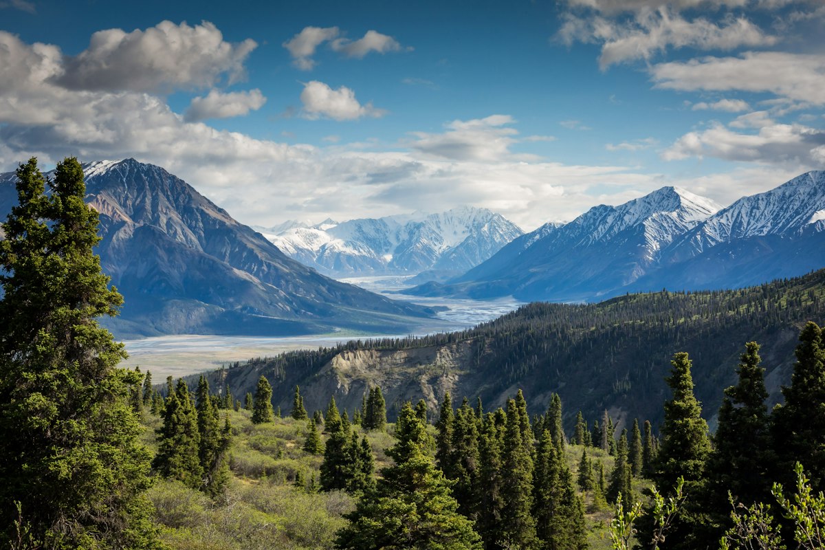
Gjeravica Peak: A Hiker's Guide to Kosovo's Highest Summit (2,656 m)
Gjeravica is the roof of Kosovo — a bold 2,656 m summit in the Prokletije range on the Albania border. Here is everything you need to plan and complete the ascent.
Why Climb Gjeravica?
Gjeravica (2,656 m) is Kosovo's highest point and one of the great non-technical summit climbs in the western Balkans. The peak sits on the border with Albania in the wild Prokletije range — the same mountains that form the backdrop of the Peaks of the Balkans trail. On a clear day from the top, you see deep into Albania, Montenegro, and across the entirety of Kosovo to the Šar Mountains on the opposite side of the country.
It is not a casual walk. The round trip involves roughly 1,600 m of elevation gain and takes most hikers 8–10 hours. But the rewards — solitude, extraordinary views, the quiet pride of standing on the highest point in a country — are commensurate with the effort.
The Route: Lumbardh to the Summit
The most practical access is from the village of Lumbardh, approximately 20 km southwest of Peja. A rough track leads from Lumbardh to the mountain shepherd settlement of Babës/Štedim (reachable by 4WD in good conditions), reducing the total hiking distance.
From Lumbardh village (trailhead):
- Lumbardh → forest zone: The trail follows a jeep track through mixed beech forest, gaining altitude steadily. (~2 hrs)
- Forest → alpine meadows: The trees thin and open into spectacular high meadows used by summer shepherds. The Gjeravica massif comes into full view. (~1 hr)
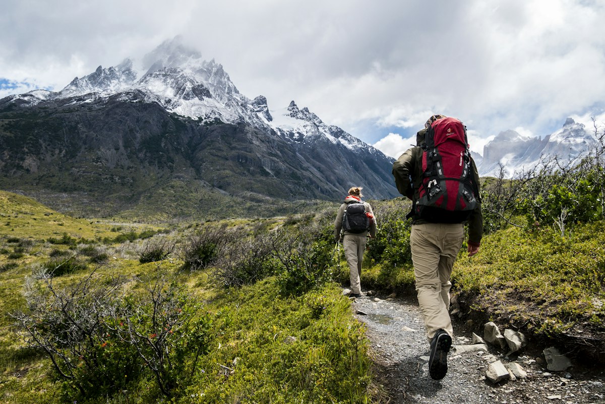
- Meadows → upper ridge: The terrain steepens and becomes rocky. Several gullies lead toward the main ridge — follow the ridge north toward the summit. (~1.5 hrs)
- Summit ridge → Gjeravica: The final section is a boulder scramble on the ridge crest. Non-technical but exposed — do not attempt in strong winds or wet conditions. (~45 min)
Trailhead Logistics
Getting to Lumbardh: From Peja, take the Rugova Valley road west and turn south toward Lumbardh. The village is ~20 km from Peja on a paved road. By taxi from Peja: approximately €15–20. There is no public bus to Lumbardh.
Parking: Small area by the village. For 4WD access to Babës: ask locally about current road conditions — the track is badly eroded in places and impassable after heavy rain.
Start time: Leave no later than 06:30. The summit should be reached by midday to avoid afternoon thunderstorms which build rapidly in summer.
Difficulty and Fitness Requirements
Rate this as Challenging (4/5). You need:
- Good cardiovascular fitness — this is not a technical climb but it is a long, steep day
- Experience on rough mountain terrain and boulder scrambles
- Solid ankle support from boots — the upper ridge is unstable rock
- A head for heights on the exposed summit ridge
This is not a hike for beginners. If you have not done a significant mountain day before, join a guided group or hire a local guide from Peja.
Best Time to Climb
July to September is ideal. Snow typically clears from the upper ridge by mid-July. September offers the most stable weather — fewer afternoon storms, crystal visibility, and dramatically lower humidity than July and August.
Do not attempt the summit:
- Before mid-June (snow on the ridge, unstable cornices)
- After early October (autumn snow, early darkness)
- If cloud is building on the summit before 10:00 (turn back)
- In wet conditions (the rock becomes treacherous when wet)
What to Carry
- 2–3 litres of water minimum (no reliable sources above the meadows)
- High-calorie food for a full day — the ascent burns significant energy
- Waterproof jacket and warm layer (even in August, the summit can be below 5°C with wind)
- Trekking poles (invaluable on the steep descent)
- First aid kit and emergency whistle
- Offline map downloaded (Maps.me, Wikiloc, or Organic Maps)
- Fully charged phone and power bank
- Tell someone your planned route and expected return
On the Summit
Gjeravica's summit cairn has a small register box — sign it if you find it. The Albanian border runs directly through the peak, though there is no formal crossing point. The views south into Albania's Tropoja district and the Valbona Valley are astonishing — you can see all the way to the Adriatic on an exceptionally clear day.
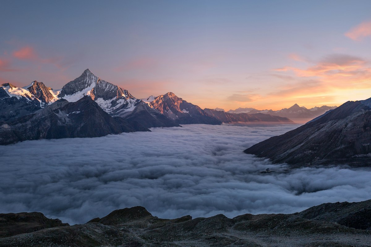
Allow 20–30 minutes on top. The descent is often more demanding than the ascent mentally — tired legs on steep rock require concentration.
Guided Ascents of Gjeravica
We offer Gjeravica as part of our Kosovo Highlights and Peaks of the Balkans itineraries. Our local mountain guides know the route in all conditions and carry full first aid and emergency equipment. Contact us to add a Gjeravica day to your Kosovo itinerary.