

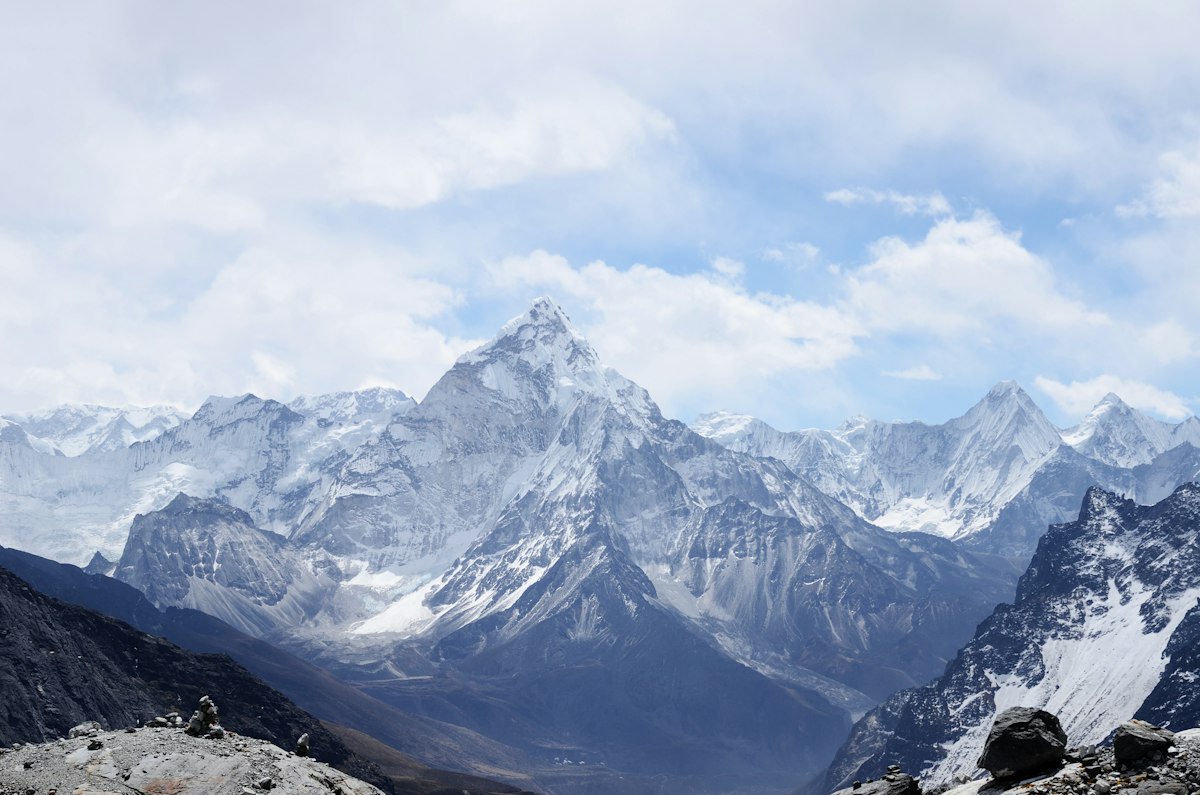
Montenegro Hiking Guide: Prokletije National Park and the Balkan Peaks
Montenegro's share of the Prokletije — including the Visitor Peak, Grebaje Valley, and Rosni Plato — is wilderness hiking at its finest. Here's how to explore it.
Montenegro's Hidden Hiking Frontier
When most people think of Montenegro, they think of the Adriatic coastline — Kotor Bay, Budva, Sveti Stefan. But inland, hidden from the tourist brochures, Prokletije National Park contains some of the most dramatic mountain scenery in the entire western Balkans.
Established as a national park in 2009, Prokletije covers 166 km² of the easternmost Albanian Alps — jagged limestone peaks above 2,600 m, glacial valleys, ice-cold mountain lakes, and the twin gateway towns of Plav and Gusinje. It is the least-visited corner of Montenegro and, for hikers willing to make the effort, one of its greatest rewards.
Visitor Peak (2,211 m) and Volušnica
Visitor is the most iconic summit in the Montenegrin Prokletije and a compulsory goal for any serious hiker in the region. At 2,211 m, it offers panoramic views across three countries — Kosovo to the east, Albania to the south, and the Durmitor range to the north-west.
Route from Grebaje Valley: The classic ascent starts from the floor of the Grebaje Valley, following a clear trail through spruce forest and into the alpine zone. The summit approach is a combination of grassy slopes and a short rocky scramble. Allow 5–6 hours return.
Difficulty: Moderate–Challenging | Best time: June–October

Grebaje Valley: Base Camp for Prokletije
The Grebaje Valley is the main staging area for Prokletije hiking. A 12 km drive from Gusinje on a rough track, it ends at a cluster of simple lodges and shepherd huts at around 1,200 m. From here, multiple trails fan out into the mountain:
- Rosni Plato: A 3-hour return walk to a high meadow plateau with exceptional views and often-present chamois
- Visitor Peak circuit: The full day hike described above
- Peaks of the Balkans Stage 7: The section of the main PoB trail that runs through Grebaje to the Kosovo border
- Dobra Voda Lake: A short and rewarding walk to a glacial lake set in a dramatic cirque
Plav and Gusinje: The Gateway Towns
Plav (920 m) is the administrative centre for the region — a small town with basic services, a beautiful lake, and the starting point for the Peaks of the Balkans trail. Gusinje, 13 km further east and practically on the Albanian border, is even smaller but has a cluster of good guesthouses and is closer to the Grebaje Valley trailhead.
Both towns have a mixed Muslim-Christian heritage that makes them culturally distinct from coastal Montenegro — minarets and Orthodox churches share the same skylines, and the local cuisine reflects Albanian, Slavic, and Ottoman influences. The mantije (baked meat pastry) in Plav has a devoted local following.
Ali Pasha's Springs (AliPašini Izvori)
One of Montenegro's most striking natural phenomena is just 3 km from Gusinje. Ali Pasha's Springs are a series of ice-cold karst springs emerging from the base of a cliff face, flowing turquoise and crystal clear even in the height of summer. The temperature never exceeds 10°C regardless of season — fed from snowmelt deep within the limestone mountains.
The short walk (40 minutes return) is suitable for everyone and makes a perfect half-day addition to any Prokletije itinerary.
The Peaks of the Balkans Through Montenegro
Three stages of the Peaks of the Balkans trail pass through Montenegrin territory, covering the section between the Albanian border (at Vusanje) and the Kosovo border (near Čakor Pass). This is considered the most remote and challenging section of the full route — and some say the most beautiful.
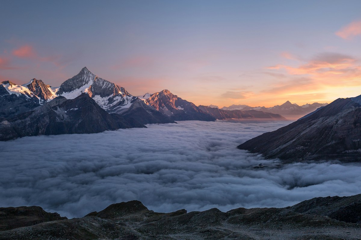
The trail passes through the Grebaje Valley, over the Volušnica ridge, and skirts the edge of the Kosovo border before descending to Plav Lake. This section is best hiked with a guide — the trail is less well-waymarked than the Kosovo and Albanian sections, and the terrain is genuinely remote.
Getting to Prokletije
The most practical access is via Podgorica (Montenegro's capital, served by most European airlines). From Podgorica:
- Bus to Plav: approximately 3.5–4 hours (one or two daily buses; check current schedules as they change seasonally)
- Taxi/transfer from Podgorica: approximately 2.5 hours (€80–120)
Alternatively, access Prokletije from Kosovo: from Peja, the Čakor Pass road (partially unpaved) leads to Gusinje in approximately 2.5 hours. This road is only reliable June–October.
When to Visit Montenegro's Prokletije
July to September is the primary hiking window. June is beautiful but the high trails may still have snow. October offers stunning autumn colours and near-solitude but some guesthouses close from mid-month.
Winter brings heavy snowfall — Prokletije is one of the snowiest regions in the Balkans — and is strictly for experienced alpine winter mountaineers only.